Posted: Feb 2, 2025 / 06:20 PM EST
Updated: Feb 2, 2025 / 06:20 PM EST
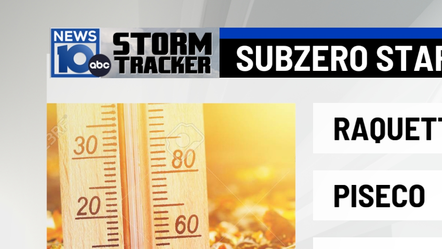
The Groundhog has spoken, and Punxsutawney Phil of Pittsburgh forecasts that we will get another six weeks of winter. Temperatures last night were brutal enough to where we were wishing for more spring-like weather. Take a look at some of these low temperatures…


Lows tonight will be much nicer, but still chilly! However, tonight won’t be the best night to be on the roads. The snow has started and will continue until the overnight hours later. This, combined with freezing temperatures will cause slippery driving conditions for most of the evening, be careful driving early Monday morning.


Clouds hang on until Monday even though most of the system tonight will have moved passed us by then. Those further east expect a later ending time for the snow compared to those further west. Monday morning doesn’t look bad, but the afternoon looks to be wet further north. There seems to be a finger of precipitation trying to reach down towards the Capital Region, but we’re forecasting a mostly dry day from the Capital Region southbound. A couple of rain/snow showers could start to fall later in the evening as the second system tries to get out of here. The point is, that the further north you are, the greater chance you have of seeing a mixed bag of precip. Tuesday overall, looks like a drier and better day with brighter skies.


Here’s what we’re forecasting in terms of accumulation for tonight until early tomorrow morning. A coating-2″ south of Albany into most of Greene and Columbia counties. South in Dutchess and Ulster Counties and southern Greene County out to the Catskills could see 2″-4″. 2″-4″ is also likely through the southern Adirondacks, Mohawk Valley through Saratoga county into southern Vermont. Overall, light accumulation is expected from this storm and we’ll have some relief from the snow potentially just after midnight.

Highs tomorrow will be mild and while we’re forecasting a more dry day in the Albany area, the temperatures up north may feel a bit less mild with mixed precip on the way later in the day. Tuesday looks better as far as dryness but temperatures will drop near the freezing line with the breeze kicking back in.


Wednesday trending a bit sunnier but chillier with temperatures sinking into the upper 20s. Thursday looks like a mess. We could be seeing widespread snow/rain/mixed precip for the majority of the afternoon/evening. Friday some lake effect snow could cause a few flurries to drop into the Capital Region with the breeze. Then Saturday is also looking to bring us a mix later in the evening. Sunday, depending on how fast Saturday’s system passes, could start off gloomy and wet before drying out by the afternoon once the storm passes.

Copyright 2025 Nexstar Media Inc. All rights reserved. This material may not be published, broadcast, rewritten, or redistributed.