Some tornado warnings and watches are being issued by the National Weather Service in various regions of the commonwealth Thursday morning. Parts of the state most likely to be impacted are central and south central Kentucky, with cities like Bowling Green, Lexington and London included.
A flood watch is also in place until 10 a.m. Friday, where rain accumulations could lead to possible flooding east of Frankfort. Here’s what we know.
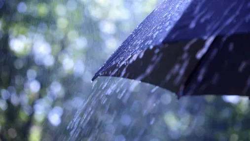
Louisville, KentuckyWhat’s the forecast for Louisville? NWS predicts widespread rain in coming days
Louisville Weather Forecast
Thursday
A 40% chance of precipitation with showers and thunderstorms likely mainly before 7 a.m. Cloudy skies will gradually become sunny with a high near 58 and west winds of around 8 mph.
Thursday night
Partly cloudy, with a low around 34. Northwest winds of 3 to 6 mph.
Friday
Mostly sunny with a high near 48 and light north winds. Friday night the chance of precipitation is 40% with showers likely after 1 a.m. Mostly cloudy with a low near 37 and northwest winds of 3 to 6 mph.
Saturday
A 80% chance of showers. High near 58 with east winds of 6 to 8 mph becoming south in the afternoon. Saturday night there is an 60% chance of precipitation with showers likely before 1 a.m. Low around 34.
Sunday
Mostly cloudy with a high near 44 and a low around 31.