The Lehigh Valley could see more winter weather this weekend.
The National Weather Service in Mount Holly, New Jersey, issued a winter weather advisory for the area, starting at 3 p.m. Saturday and ending at 6 a.m. Sunday.
 The latest snowfall projections issued by the National Weather Service forecast office in Mount Holly, New Jersey.
Mixed precipitation is expected again, with snow and sleet accumulations of up to 2 inches are possible. Forecasters said there could be up to .2 inches of ice. Road conditions will be slippery, the weather service said.
The precipitation will likely start as snow before changing over to rain and sleet at night.
Sunday should be clear, but more snow could come to the area Tuesday and Wednesday. Meteorologists with the local weather service office said in their forecast discussion Friday that there is increasing confidence that the region will see a “plowable” snowfall event during the week.
A system is expected to hit the area Tuesday and continue until Wednesday. There is a 50 to 70% chance of 4 inches or greater with that storm, according to the weather service.
A second system is expected to impact the area next Thursday, but specifics on that are not clear as of Friday.
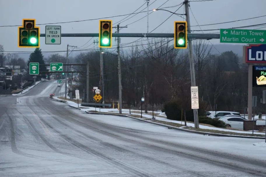
This weekend’s storm follows one that hit the area Thursday. The weather service said .37 inches of snow fell that day. The icy conditions prompted school closures and delays.
Friday should be clear. Here is the extended forecast from the National Weather Service:
Saturday: Snow likely before 5 p.m., then snow likely, possibly mixed with sleet. Cloudy, with a high near 33. Northwest wind 5 to 10 mph becoming southeast in the afternoon. Chance of precipitation is 60%. New snow and sleet accumulation of less than one inch possible.
Saturday night: Snow, freezing rain, and sleet before 2 a.m., then freezing rain likely, possibly mixed with sleet between 2 a.m. and 3 a.m., then freezing rain likely after 3 a.m. Low around 28. Southeast wind 5 to 10 mph becoming northwest after midnight. Chance of precipitation is 100%. New ice accumulation of 0.1 to 0.2 of an inch possible. New snow and sleet accumulation of less than one inch possible.
Sunday: Mostly sunny, with a high near 38. Northwest wind 5 to 10 mph, with gusts as high as 20 mph.
Sunday night: Partly cloudy, with a low around 20.
Monday: Mostly sunny, with a high near 34.
Monday night: Mostly cloudy, with a low around 15.
Tuesday: Snow likely after 1 p.m. Mostly cloudy, with a high near 32. Chance of precipitation is 60%.
Tuesday night: Snow likely, mainly before 1 a.m. Cloudy, with a low around 24. Chance of precipitation is 70%.
Wednesday: A chance of snow. Mostly cloudy, with a high near 33. Chance of precipitation is 40%.
Wednesday night: Snow. Low around 25. Chance of precipitation is 80%.
Thursday:Rain and snow likely. Mostly cloudy, with a high near 39. Chance of precipitation is 70%.
Originally Published: February 7, 2025 at 2:44 PM EST