February is typically the snowiest month in the northeastern U.S., and this month appears to be no exception, as a bounty of snow appears likely for much of the region over the next few days.
Starting with an ice and snow storm Thursday, a series of winter systems is forecast to slam parts of the Midwest, Northeast and Mid-Atlantic with dangerous travel conditions through the middle of next week, forecasters said.
“February is kicking off with a very stormy pattern,” AccuWeather meteorologist Bernie Rayno said. “A parade of three winter storms will bring snow, ice and sleet to millions of people from the Midwest through the Northeast.”

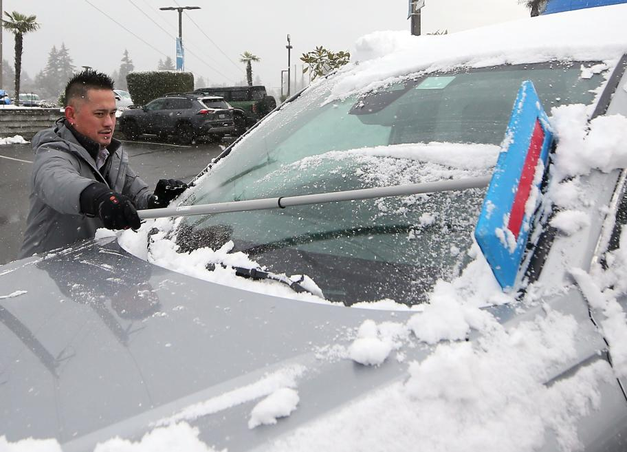
West Hills Honda general sales manager JR Granstrand brushes the snow off one of many snow-covered vehicles at the dealership in Bremerton, Wash., on Feb. 5, 2025.
Ice storm warning in effect Thursday morning
Some of the worst weather Thursday will be in the Appalachians of Pennsylvania, Maryland, West Virginia and Virginia, where an ice storm warning will remain in effect until midday because of the forecast of freezing rain.
“Power outages and tree damage are likely due to the ice,” the National Weather Service said. “Travel could be nearly impossible.”
AccuWeather senior meteorologist Marshall Moss warned drivers that “freezing rain is the most dangerous precipitation for travel, there is no traction at all on it.” He added that “ice patches are clear, making it tough for drivers to tell if roads are icy or just wet.”
As the storm races off to the north, snow accumulations of 1-3 inches are also expected across parts of northeastern Pennsylvania, northern New Jersey, New York City and Maine, with a plowable 3-6 inches of snow expected in the higher elevations of northern New York, Vermont, New Hampshire and Maine, AccuWeather said.
A breather Friday, then a weekend storm
After a break Friday, another storm is forecast for the weekend. According to Weather.com meteorologist Chris Dolce, “snow and a stripe of ice seem likely to develop by Saturday from the northern Plains and Great Lakes to parts of the Mid-Atlantic and Northeast.”
The weather service said sleet and freezing rain are likely across portions of the Mid-Atlantic, New York and southern New England, which could be hazardous.
The most significant risk of icing on Saturday is in northern Ohio and across parts of southwestern, central and northern Pennsylvania, according to AccuWeather.
Dolce said the Interstate 95 corridor could at least start with a burst of snow, including around New York City and Philadelphia, before changing to a wintry mix and/or rain. “Boston might remain snow for a longer period of time and pile up several inches.”
Winter storms expected next week, too
Long-term computer model forecast guidance is hinting this active winter storm pattern might persist in the Midwest and East next week, Dolce said.
“With colder air advancing southward, there’s a chance the areas of snow and/or ice might be farther south compared to what we are seeing through this week,” he said.
AccuWeather senior meteorologist Joe Lundberg said: “From late Monday into Wednesday, a storm will originate in Texas and move to the Mid-Atlantic coast, with a larger swath of snow and ice to the north of its path, and the potential of heavy rain and severe weather across the South into the Southeast.”
This article originally appeared on USA TODAY: Ice storm is first of many to wallop Midwest, Northeast